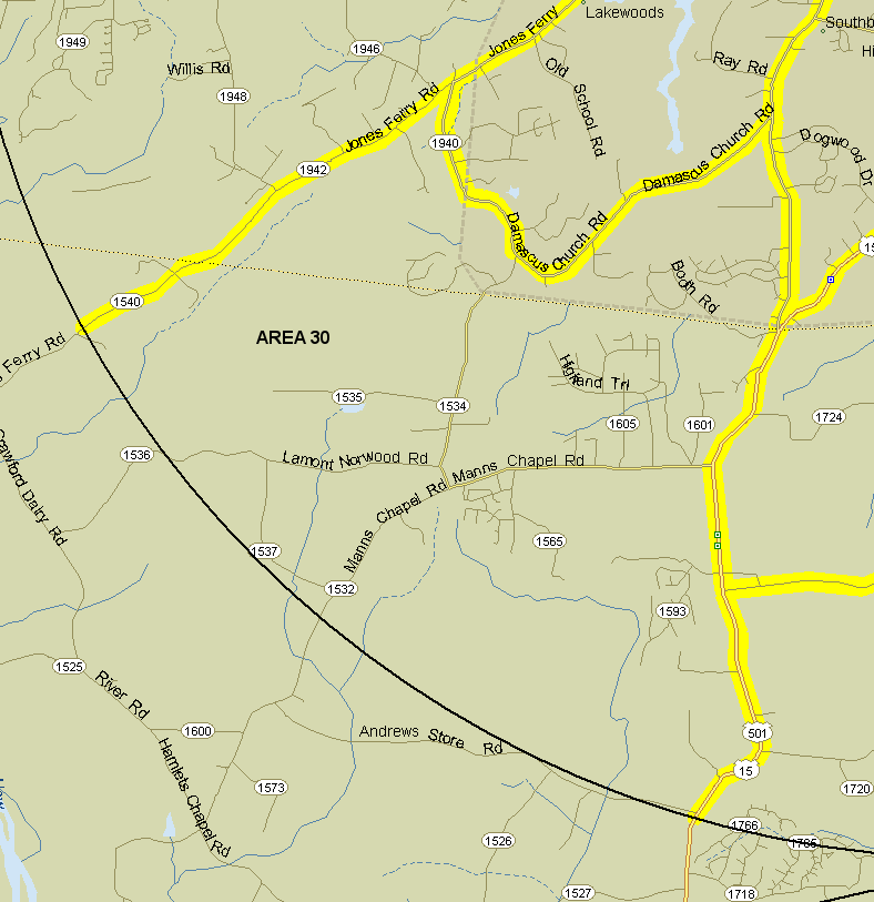
30. Southwest area. Bounded by count circle on southwest, US 15-501 and Smith Level Rd. on east, and Damascus Ch. Rd. (1939-1940) on north, Jones Ferry Rd. on northwest. Excludes all boundary roads. Notes: The most important area to cover here is the Briar Chapel/Pokeberry Creek nature trail system, which can be quite good, especially in migration. Detailed Briar Chapel trail maps are available online.
Revised 12/17/2019 cwcook@duke.edu