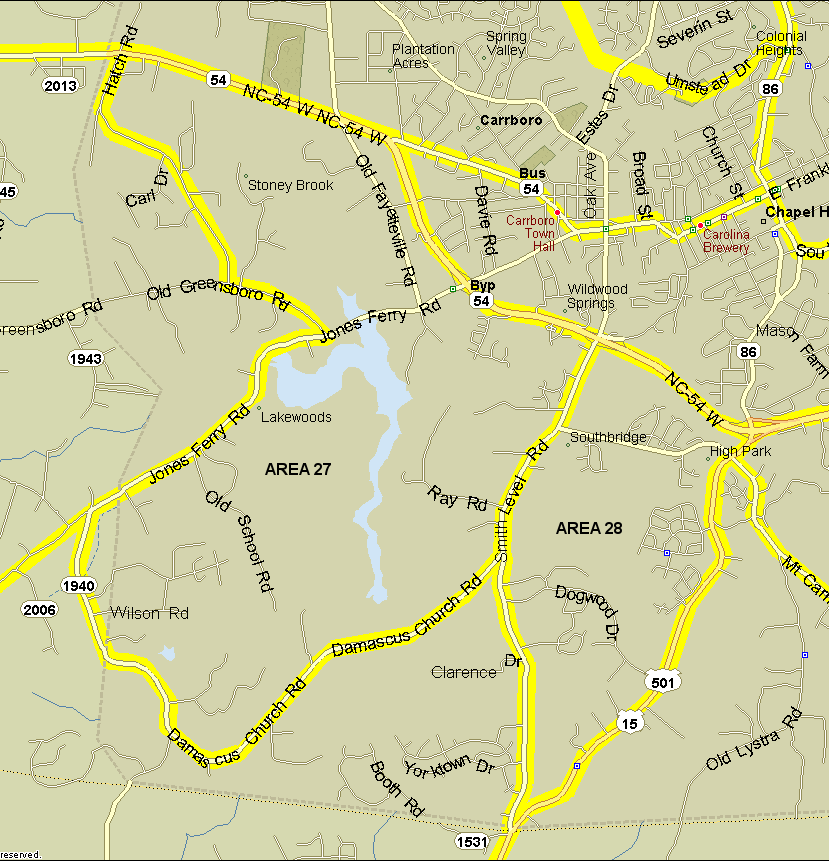
27. University Lake area. Bounded on northeast by NC 54 and 54 bypass from Hatch Rd. (1944) to Smith Level Road, on southeast by Smith Level Rd./Damascus Church Road (SR 1939/SR 1940), on west by Jones Ferry Rd./Greensboro Hwy/Hatch Rd. (SR 1944). Excludes the latter three roads. Notes: See University Lake for more information on covering the lake.
28. Dogwood Acres area. Bounded by US 15-501 on east, Smith Level Rd. on west and south, and 54 bypass on north. Excludes boundary roads. Notes: Not much birding potential here, but there are a couple of patches of woods. Includes Dogwood Acres, Southern Village, and Culbreth Middle School.
Revised 4/5/09 cwcook@duke.edu